TERN Landscapes
TERN’s Landscape Monitoring platform conducts environmental monitoring and landscape observation using remote sensing techniques to characterise and monitor Australian ecosystems at a landscape and continental scale.
The platform also undertakes modelling and synthesis activities to extrapolate and interpolate from observational data to produce modelled data products.
Data, Tools, Services & Equipment
TERN Landscapes data streams are used to characterise and detect change relating to vegetation structure and composition, land cover and bushfire dynamics and impacts. The landscape observatory platform also includes data and mapping products from TERN’s Soil and Landscape Grid of Australia, which provides easy access to nationally-consistent and comprehensive soil and landscape attribute data.
- Land cover dynamics and Phenology
- Vegetation composition and diversity
- Fire dynamics and impacts
- Vegetation structural properties and Biomass
- Field survey datasets
- Airborne datasets
- Corrected surface reflectance products
- Other environmental and landscape research data such as solar radiation, rainfall, and water vapour pressure
- Bulk Density
- Organic Carbon
- Clay
- Silt
- Sand
- pH (water)
- pH (CaCl2)
- Available Water Capacity
- Total Nitrogen
- Total Phosphorus
- Effective Cation
- Exchange Capacity
- Depth of Regolith
- Depth of Soil
- Coarse Fragments
- Slope (%)
- Slope (%) Median 200m Radius
- Slope Relief Classification
- Aspect
- Relief 1000m Radius
- Relief 300m Radius
- Topographic Wetness Index
- Topographic Position Index
- Partial Contributing Area
- Multi-resolution Valley Bottom Flatness (MrVBF)
- Plan Curvature
- Profile Curvature
- Prescott Index
- Solar Radiation (SRAD) Net Radiation January
- SRAD Net Radiation July
- SRAD Total Shortwave Sloping Surface January
- SRAD Total Shortwave Sloping Surface July
- Metadata and technical support documents;
- Physical storage and efficient delivery to end-users;
- Solved data formats, interoperability and data management/policy;
- Set national standards and field validation protocols, including the Australian first TERN Effective Field Calibration and Validation Practices handbook that gives details on how to correct and check remotely sensed data products to ensure they can be used for science and management applications;
- International benchmarking e.g. Committee on Earth Observation Satellites Working Group for Calibration and Validation of Land Products
The Australian Cosmic-Ray Neutron Soil Moisture Monitoring Network (CosmOz) has more than 20 soil moisture monitoring stations across Australia, each delivering data from an area of about 30 hectares to depths in the soil of between 10 to 50 cm. The next sensor in the CosmOz soil moisture network will be installed in South Australia.
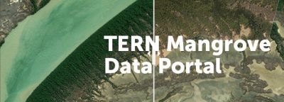
The TERN Mangrove Data Portal provides a diverse range of historical and contemporary remotely-sensed datasets on extent and change of mangrove ecosystems across Australia. It includes multi-scale field measurements of mangrove floristics, structure and biomass, a diverse range of airborne imagery collected since the 1950s, and multispectral and hyperspectral imagery captured by drones, aircraft and satellites. This project has been recognised as contributing to achieving the Sustainable Development Goals.
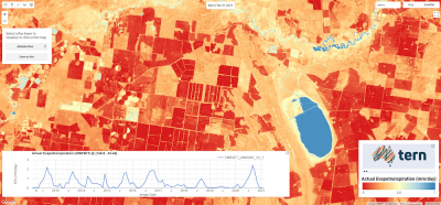
Actual evapotranspiration data for the entire Australian continent now available from TERN. High-resolution (30m), high-frequency (monthly), continuous (no gaps due to clouds) actual evapotranspiration data are now freely available for download from TERN. These world-leading satellite-derived data promote accurate water balance modelling for any catchment or groundwater system in Australia.
Current Case Studies
TERN Landscape Monitoring Case Studies are projects developed and run with external partners to develop novel applications in ecosystem science or environmental management. The case study projects use TERN infrastructure to find new solutions to meeting partners’ needs. Currently, we are developing case studies around:
Designing a ‘turn-key’ solution for TERN’s Field Team to collect and calibrate multispectral data using UAV operationally as part of their regular field campaigns.
The work conducted as part of TERN’s landscape observatory will also look into providing analysis-ready remote sensing data and will develop image processing workflows for producing fractional cover and canopy structure. It will also provide critical cal/val data for satellite-derived Earth Observation data.
Developing a framework to support environmental management, landscape monitoring, and reporting. In the first instance, the primary goal will concentrate on State of the Environment (SoE) reporting, but the framework will also be designed to work in a broader sense with other environmental management/monitoring and landscape observation schemes.
This work will help identify and use existing TERN data, but also identify current gaps and then define and prioritise essential land variables for TERN to produce.
Updating TERN’s calibration and validation protocols.
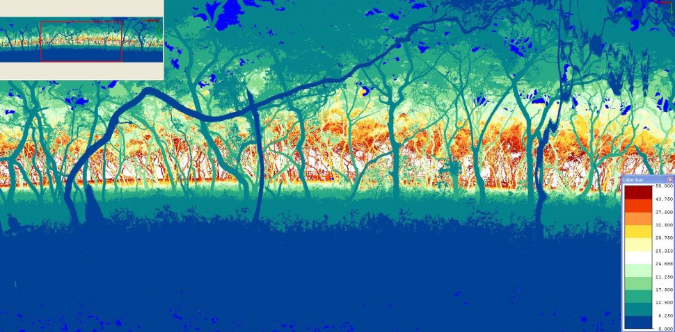
Ground-based LiDAR measurement at certain TERN SuperSites to support canopy structure analysis work at the sites, including measurements of Solar Induced Florescence (SIF).
- ‘Unlocking’ data collected by the Himawari satellite, including tasks such as ‘cloud-masking’, emissivity correction of thermal data, and NBAR correction of reflective data.
- Operational burnt area mapping using Sentinel satellite data.
- Blending multi-sensor reflectances.
Calibration and Validation
TERN Landscapes has undertaken field and airborne campaigns within selected Australian biomes since January 2011 as part of its calibration and validation program to support the production of continental scale satellite based time-series data of biophysical parameters.
Many national and international approaches were reviewed during the development phase. The field and airborne data collection approaches and protocols developed have been based on their suitability and adaptability to different Australian environments while still upholding national and international standards. The data collection approaches used are presented in TERN’s Effective Field Calibration and Validation Practices handbook.
- Site Name:
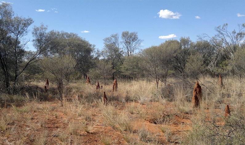
- Alice Mulga
- Site Location:
- 165 km north-northwest of Alice Springs, Northern Territory
- Environment:
- Mulga (Acacia aneura) canopy, which is 6.5m tall on average. See also http://www.tern-supersites.net.au/supersites/alic
Click here for more information
- Site Name:
- Tumbarumba
- Site Location:
- South eastern New South Wales, 100 km south west of Canberra
- Environment:
- Temperate wet sclerophyll eucalypt forest with average tree height of 40 m. Eucalyptus delegatensis is the dominant species.
Click here for more information.
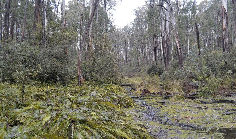
- Site Name:
- Chowilla (Calperum Mallee)
- Site Location:
- North of the River Murray floodplains near Renmark, South Australia
- Environment:
- Semi-arid mallee ecosystem in dune and swale system covered with an open mallee woodland upper story with a chenopod and native grass understory.
Click here for more information.
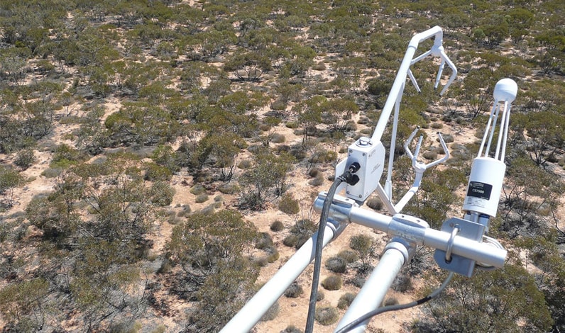
- Site Name:
- Credo (Great Western Woodlands)
- Site Location:
- Great Western Woodland 500 km north west of Perth, Western Australia
- Environment:
- Open woodland inter-dispersed with open, treeless areas. The main vegetation species are Salmon Gums reaching up to 20 m and Gimlet between 5-10 m, both with little understory. Salt bush and similar shrubs are also prevalent.
Click here for more information
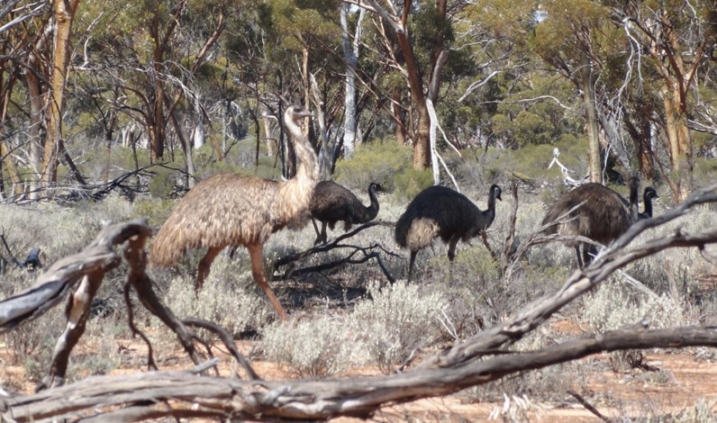
- Site Name:
- Litchfield
- Site Location:
- 80 km south of Darwin, Northern Territory
- Environment:
- Savanna, eucalypt open forests, dominated by Eucalyptus miniata and Eucalyptus tetrodonta.
Click here for more information
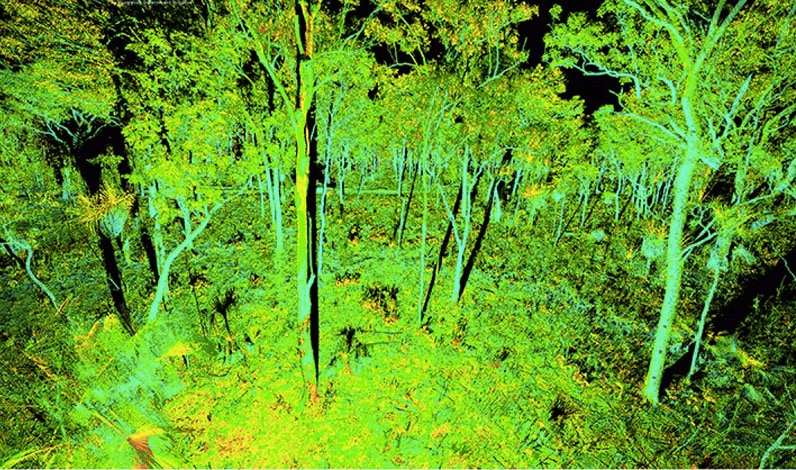
- Site Name:
- Robson Creek
- Site Location:
- Lamb Range in the Wet Tropics World Heritage area 25 km south west of Cairns, Queensland
- Environment:
- Upland rainforest region at 700 m elevation. Notophyll vine forest with a tall canopy at around 40 m and high species diversity.
Click here for more information
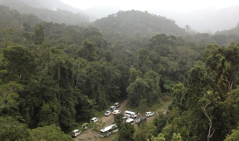
- Site Name:
- South East Queensland
- Site Location:
- Multiple sites in South East Queensland, located in the Samford Valley, Karawatha Forest, and two mangrove sites near Brisbane Airport.
- Environment:
- Samford site: on an improved (Paspalum dilatum) pasture with tall eucalypt species. Karawatha Forest: bushland with tall eucalypt species and patches of heathlands and Melaleuca sp swamps. Mangrove sites: within Moreton Bay with Avicennia marina being the dominant mangrove.
Click here for more information
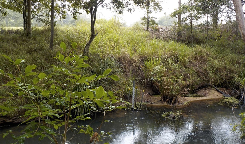
- Site Name:
- Warra
- Site Location:
- 60 km east-southeast of Hobart, Tasmania
- Environment:
- 2-6 Feb 2015 homogenous tall, wet Eucalyptus obliqua forest with wet sclerophyll and rainforest understorey.
Click here for more information
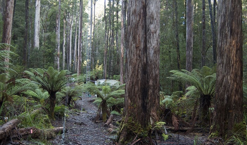
- Site Name:
- Injune
- Site Location:
- 170 km northwest of Roma, central southeast Queensland
- Environment:
- Low open woodland and open forest ecosystem. Forests with Eucalyptus species dominate in the more productive soils, occurs on the poorer sandy soils, and Brigalow occurs on clay soils. Iron barks are frequent within the open forests.
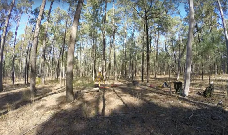
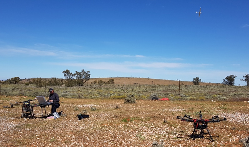
- Site Name:
- Fowler’s Gap
- Site Location:
- 110 km north of Broken Hill, NSW
- Environment:
- Arid rangelands ecosystem within a long term ecological monitoring research station.
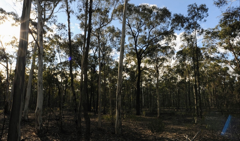
- Site Name:
- Rushworth Forest
- Site Location:
- 120 km north of Melbourne, Victoria
- Environment:
- Open forest of red iron bark, red stringybark, red box, long leaf box and grey box.
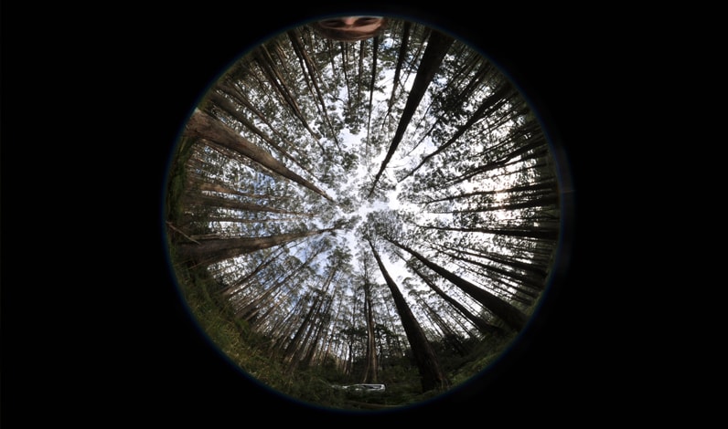
- Site Name:
- Watts Creek
- Site Location:
- 70 km east of Melbourne, Victoria
- Environment:
- Open forest with a eucalypt over storey greater than 40 m in height consisting mainly of mountain ash.
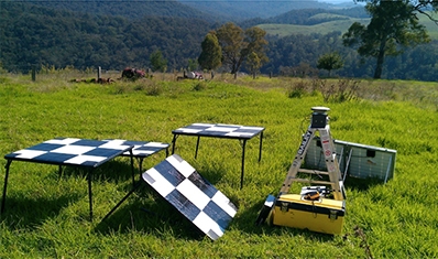
- Site Name:
- Zig Zag Creek
- Site Location:
- Eastern Victoria 300 km east of Melbourne, Victoria
- Environment:
- Dominated by shrubby dry forest and damp forest on the upland slopes, wet forest ecosystems restricted to the higher altitudes and grassy woodlands. Grassy dry forest ecosystems are associated with river valleys.
Management

Dr Glenn Newnham
Landscapes Platform
Co-Lead

Dr Ben
Macdonald
Landscapes Platform
Co-Lead

Matt
Stenson
Research
Team Leader


